

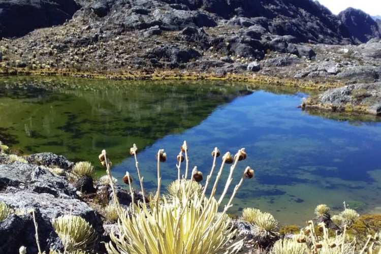
The La Culata moorland is the high-mountain ecoregion that stretches north of the city of Mérida, in the Venezuelan Andes, between the municipalities of Rangel and Santos Marquina. It is a landscape of frailejones, lakes and waterfalls above the treeline, and one of the most accessible stretches of páramo in the country: you get there from Mérida by car.
What a páramo is, and why this one
The páramo is the ecological belt that sits above the Andean forest and below the snow. Low vegetation, cold temperatures all year round and a very specific biodiversity that doesn’t exist at other altitudes. La Culata concentrates that ecosystem a short distance from Mérida, which makes it the natural way to see it without a multi-day expedition.
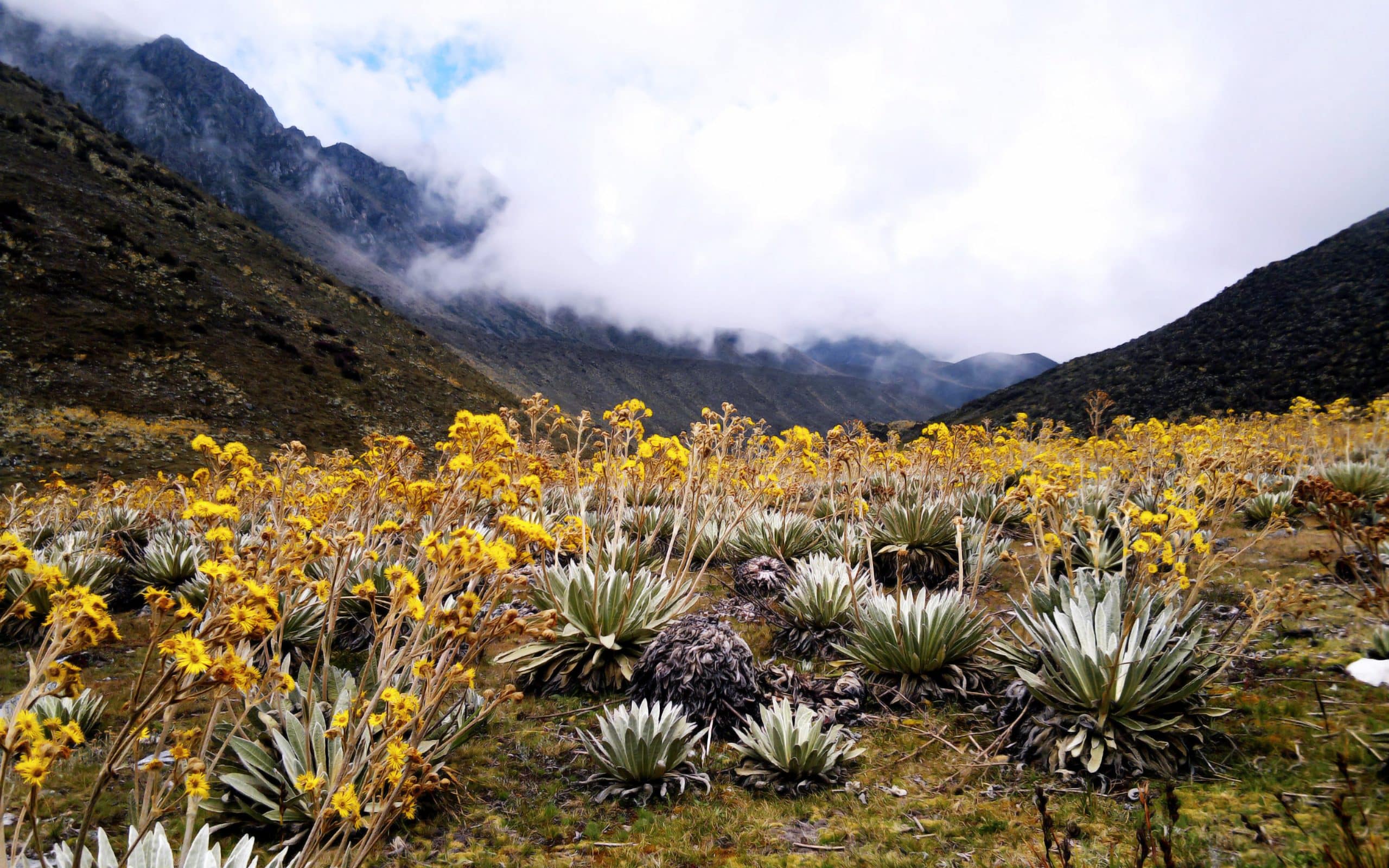
The frailejones and the rest of the flora
The frailejón is the plant that defines the landscape: tall, with felted leaves, adapted to the cold and able to store water. That isn’t only a matter of looks — the storage is part of why páramos work as water regulators for the whole basin below them.
Alongside them live orchids, bromeliads, mosses and lichens, all adapted to the same combination of cold, high radiation and damp.
Wildlife you can see
- Mammals: spectacled bear, páramo deer and páramo rabbit.
- Birds: páramo eagle, spatuletail hummingbird and Andean hillstar. The Andean condor is recorded in the area.
- Amphibians and reptiles: páramo toad and spiny lizard.
Lakes and waterfalls
The moorland is dotted with freshwater lakes and waterfalls of very different volumes. Some sit right on the trail and others require a long walk; the most remote are also the ones you find empty. Along with hiking, this is the main thing to do here.
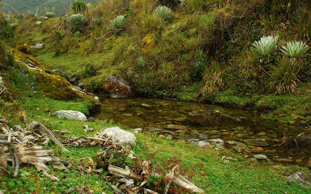
Hiking
La Culata is walked. There are routes of different demands, from short paths with views over the valley to climbs up the local summits. Three things shape the walking here more than elsewhere:
- Altitude. You walk above 3,000 m; your pace drops and it pays to acclimatise first.
- Weather. The páramo changes fast: strong sun and cold mist can both turn up in the same morning.
- Radiation. At that altitude it is high even when it’s cold.
Getting there
The gateway is Mérida, south of the moorland. From the city the road climbs towards the municipalities of Rangel and Santos Marquina, which give access to the area.
The Andean context
La Culata is part of the mountain system that runs down the west of the country: the Venezuelan Andes. South of Mérida, Sierra Nevada National Park holds the highest summits, led by Pico Bolívar. And to place the country’s three ranges in one go, the mountains of Venezuela.